INSTALLATIONS
PROVIDENCER
2024. List Art Center, Brown University | For my senior thesis show, I created a gallery-wide installation that doubled as a map of the Providence River. A blue line running across the length of the gallery represented the river as it flows from its tributaries, through downtown Providence, into the Narragansett Bay. The installation was comprised of 16 individual works that were arranged along this axis, reflecting their real-world relational positions up/downstream or on the left/right bank. The installation explored mapping across dimensions, from “one-dimensional” to “four-dimensional.” My process involved combining eye-level with aerial views to create multi-perspective maps, and time-based photography techniques.
WATCHEMOK(CALL)ET | wood, art board, clam gauge, quahog shells | As a “one dimensional” map, Watchemok(call)et is a linear sculpture measuring 8ft in length that shows elongated human forms walking in two directions (this effect was achieved by taking a panorama tracking a walking person). In the show, I call these forms “time travelers.”
Taking its name from the Watchemoket Cove, the work references the two-way flow of traffic along the East Bay Bike Path, which cuts through the cove on a narrow causeway. The materials of the work—twigs, shells and clam gauges—allude to the estuary environment.
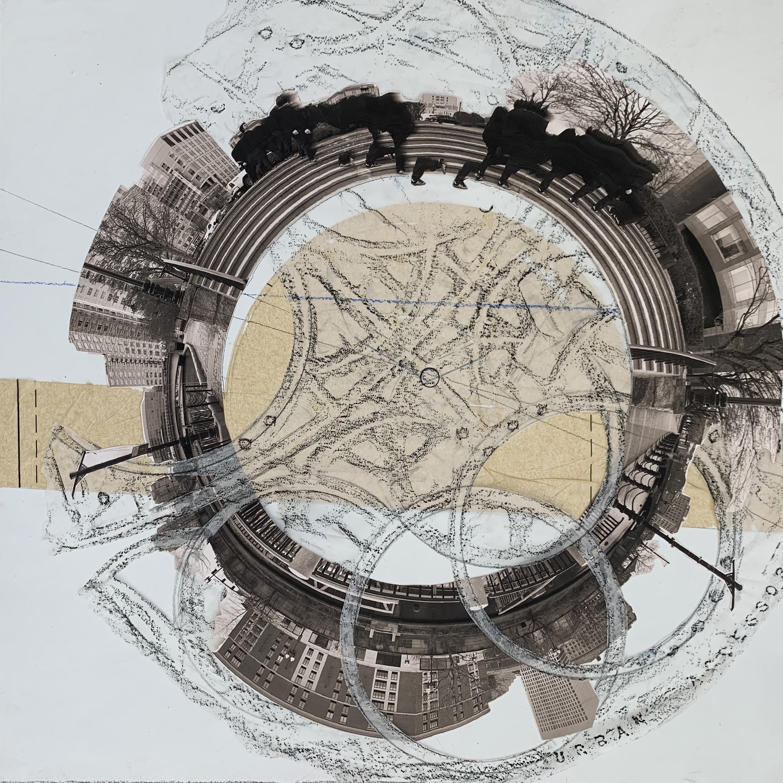
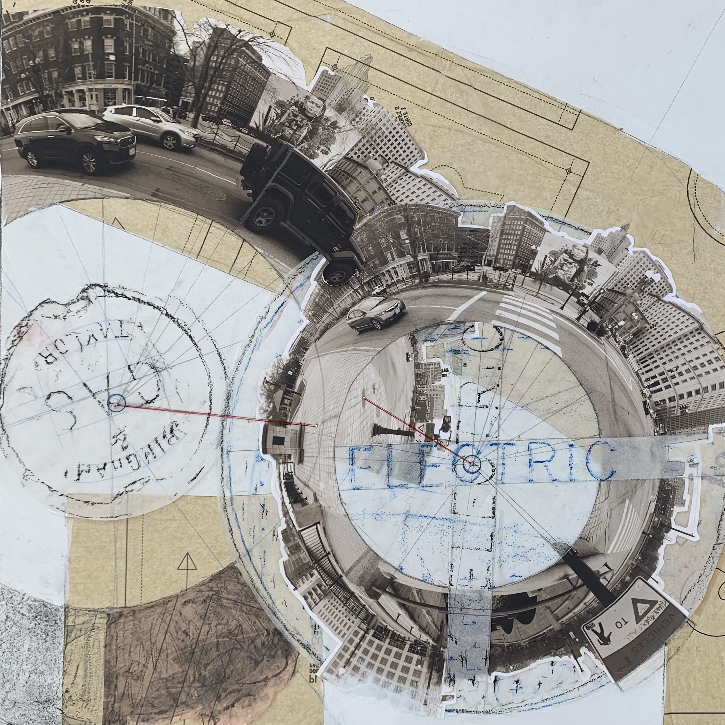
UTILITY COVER MAP SERIES | photo collage, rubbings, pattern paper | The “second dimension” of the show exists in the realm of the traditional flat map. In this series, I used utility covers along the Providence River waterfront as anchor points to build multi-perspective maps of specific sites.
To construct these maps, I first selected a group of adjacent utility covers (sometimes only one) and plotted them on a canvas according to their GPS coordinates. At each utility cover site, I took a rubbing of the lid of the cover and a 360 degree panoramic photo on top of it. As I took the panorama, human models walked in straight lines toward a nearby landmark (steeple, spire, monument) while the camera tracked their motion. These walking paths are shown in blue, and reference the historic navigational technique of rhumb lines that were used to calculate sailing directions before the discovery of longitude.
Next, I then overlaid the rubbing and panorama (which I warped into a circle using Photoshop) on top of the GPS coordinates of their source utility cover, preserving the north-south orientation of the panoramas to ensure the complete map’s integrity as a navigation device.
The plurality of panoramic views in a single map allows one to simultaneously inhabit several different perspectives at once while still reading the work as a map in its own right. With red string, I connected the center of each utility cover rubbing to its own image in panorama (the utility covers are close enough to appear in panoramas taken from their neighbors). Here I seek to restore some sense of the connection between the eye-level view and the navigational map, a relationship that has largely been lost in modern cartography.
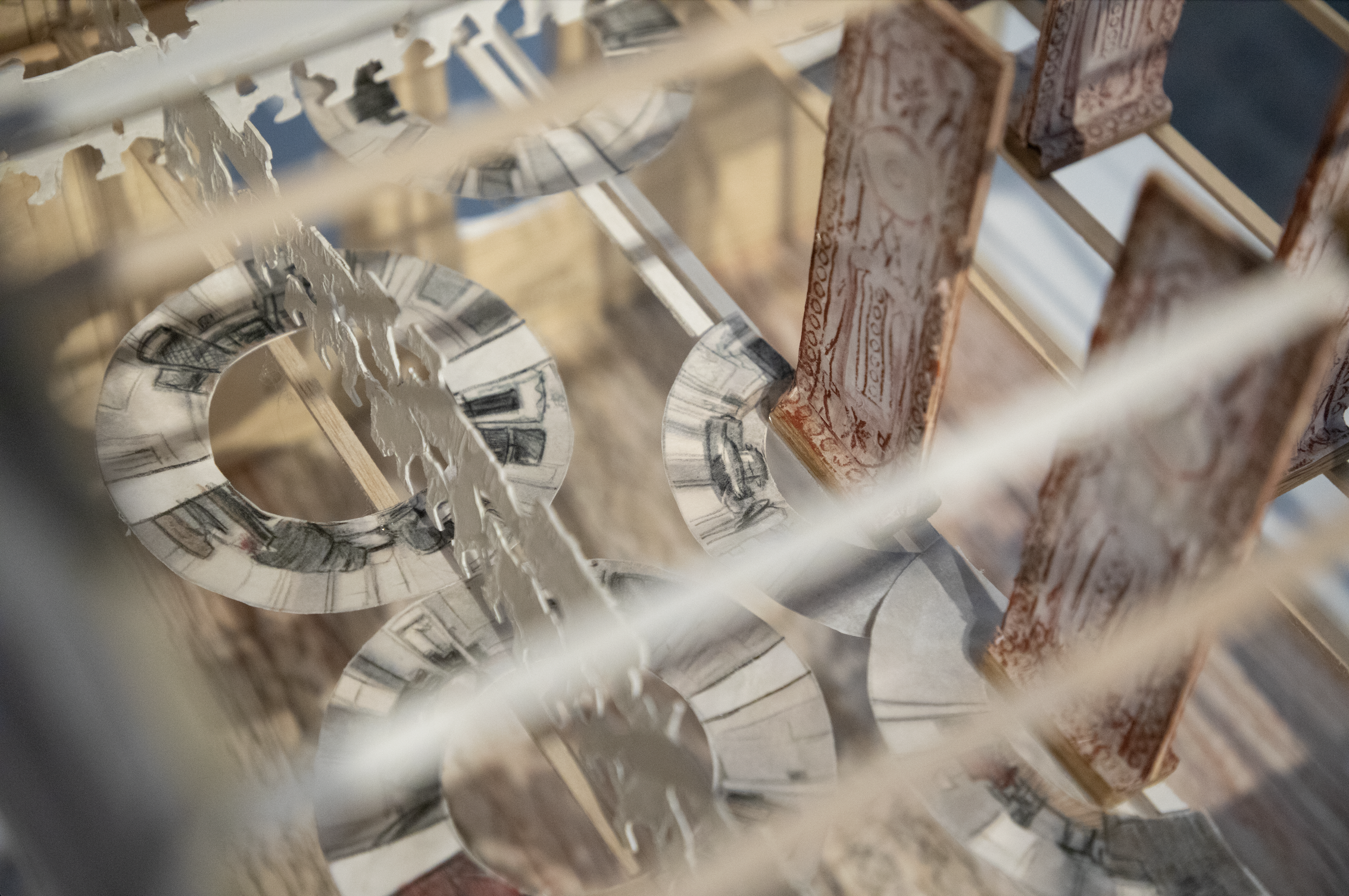
240 (HISTORIC PROVIDENCE HOME) | wood, photo collage, door plate rubbings | For the work titled 240, I constructed a three-dimensional scale model of my rental apartment, the top two floors of an historic home in the College Hill neighborhood. I removed the north and west walls of the house to expose the interior space.
The process followed a similar method to the utility cover series. At each doorway, I took a rubbing of the intricate door plate. The door plate itself was then mounted on a wooden brace and became a stand-in for the door itself. Then, standing in the exact center of the doorway, I took a 360 degree panorama. Once again, I converted these panoramas into circles and overlaid them atop their corresponding location on the floor plan of the model. The result is a to-scale representation of interior space across two floors that functions as a three-dimensional map.
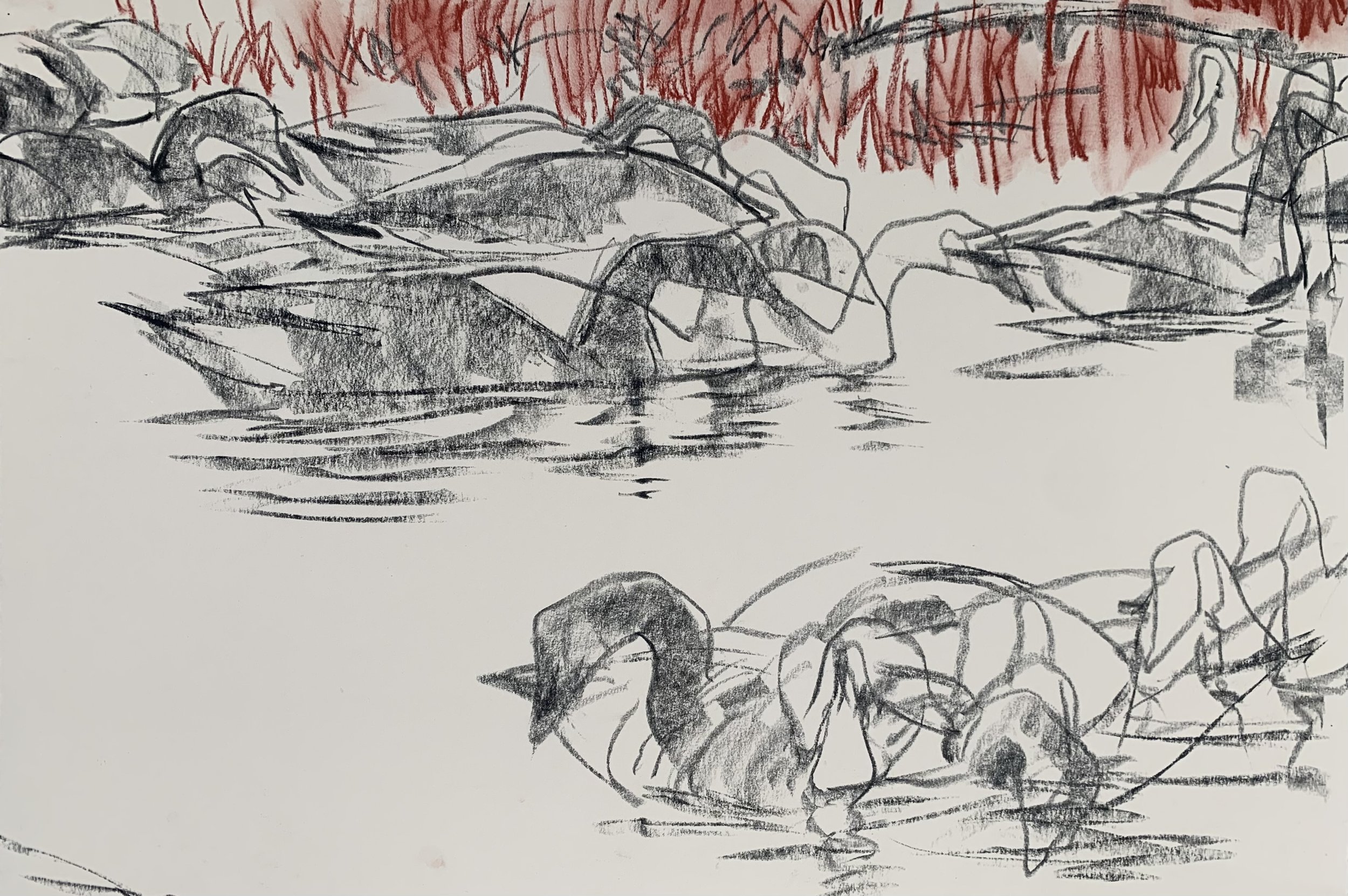
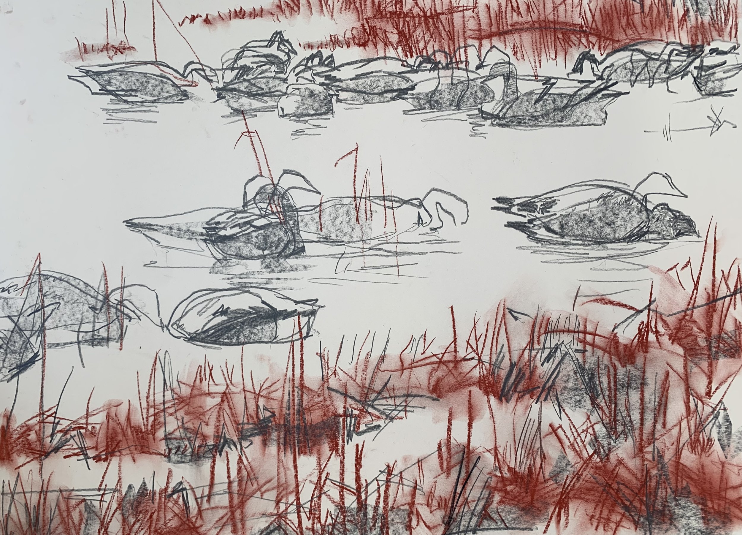
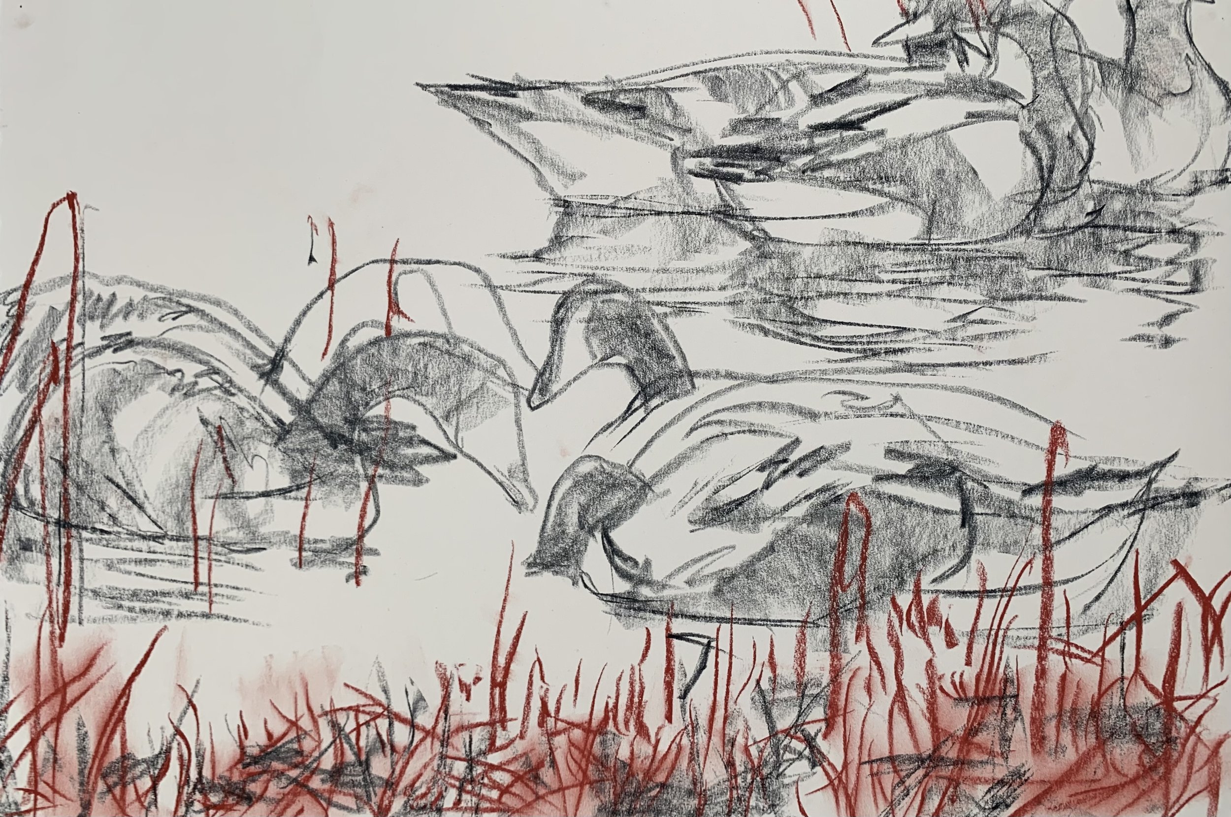
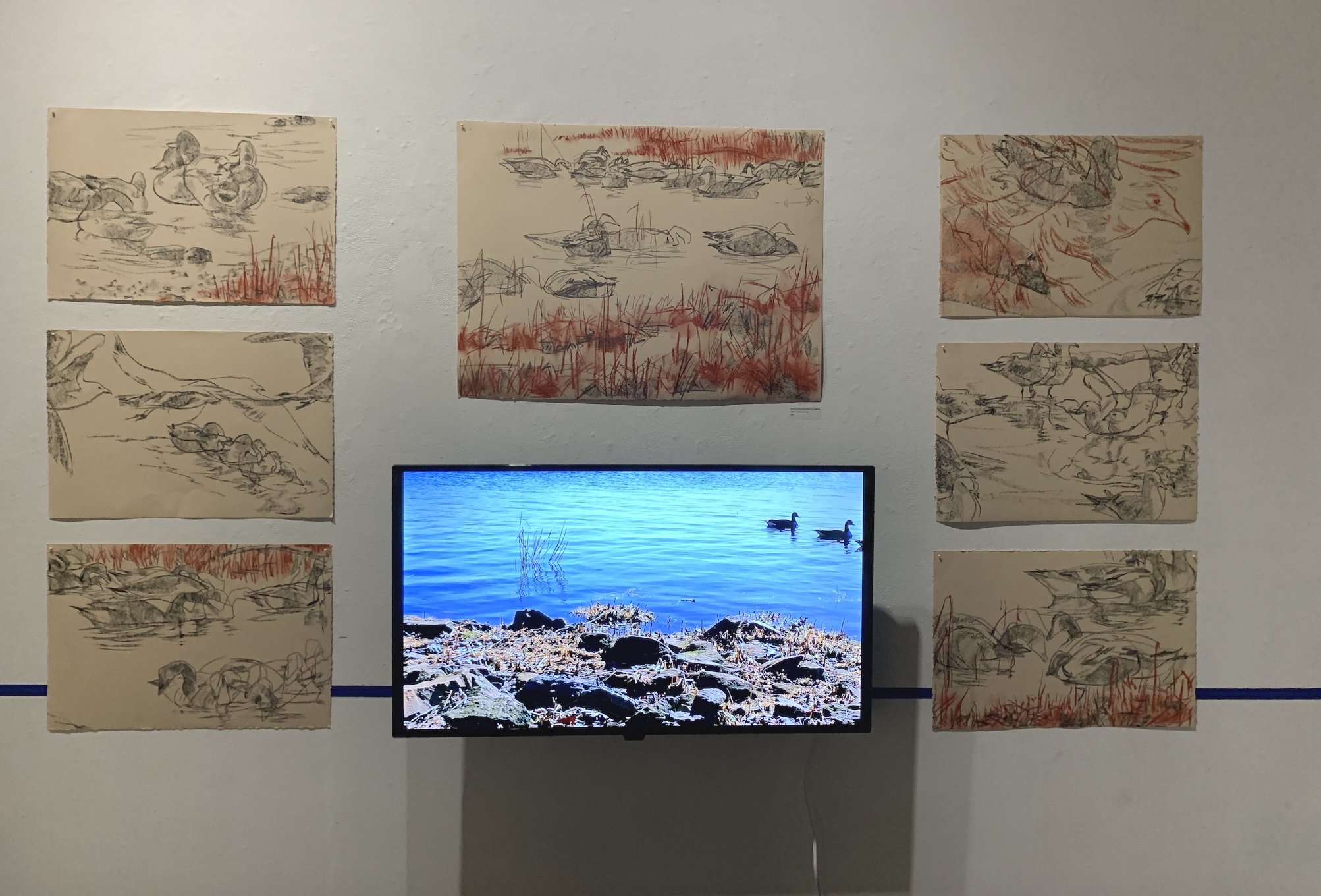
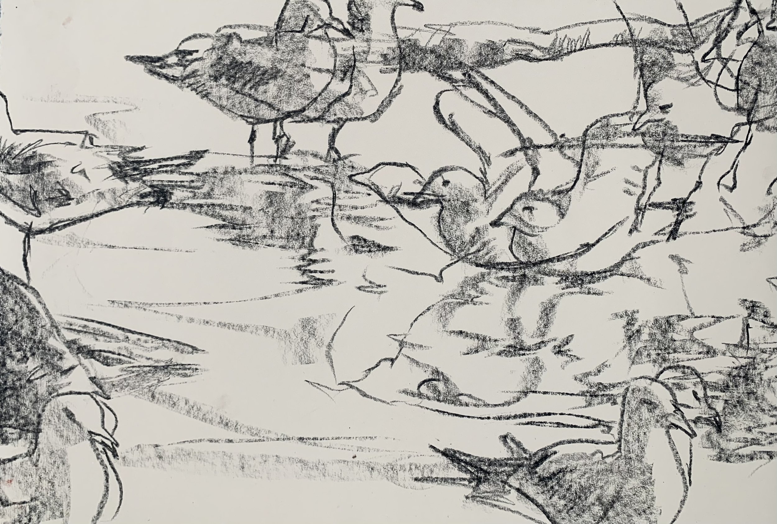
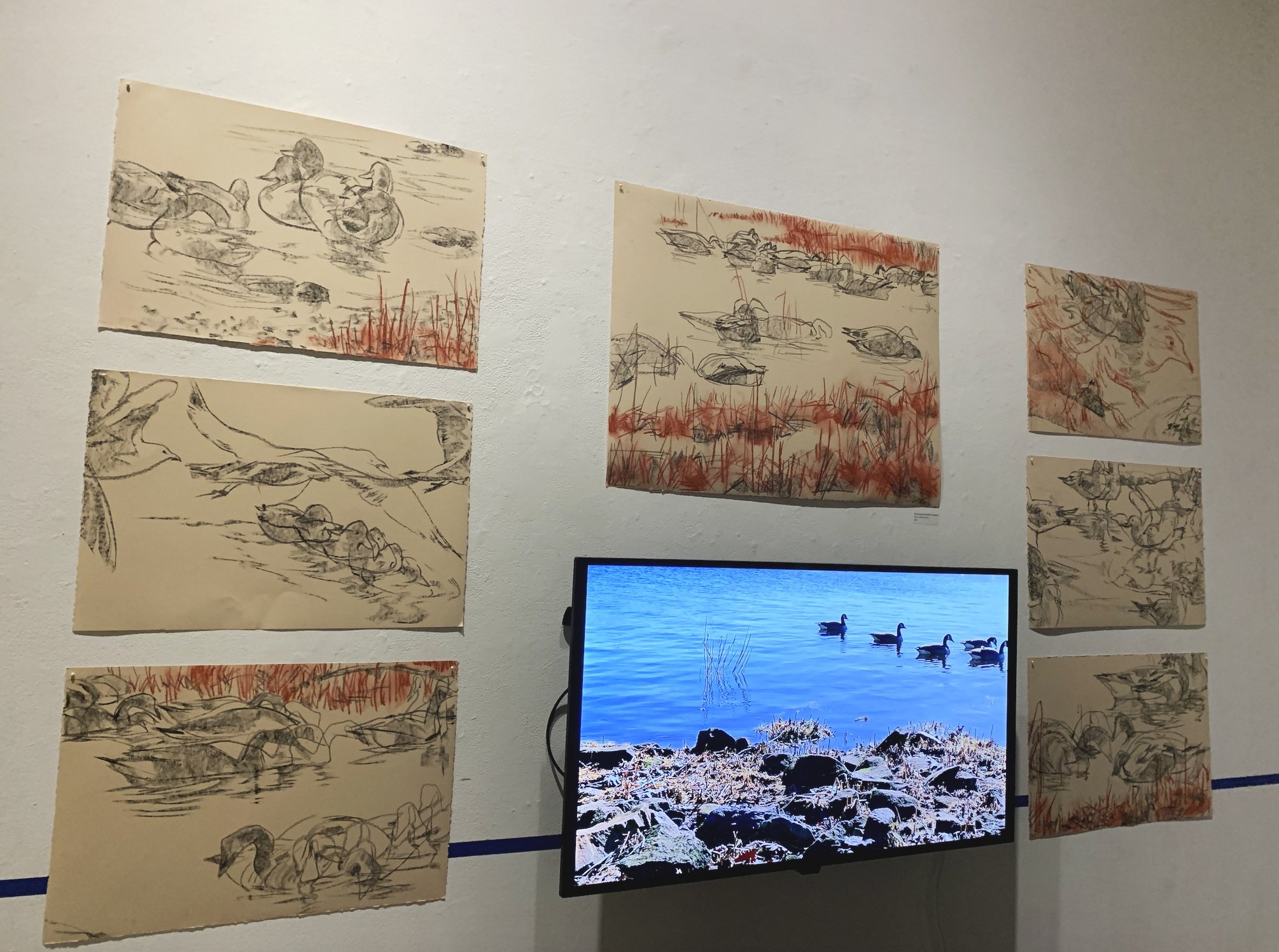
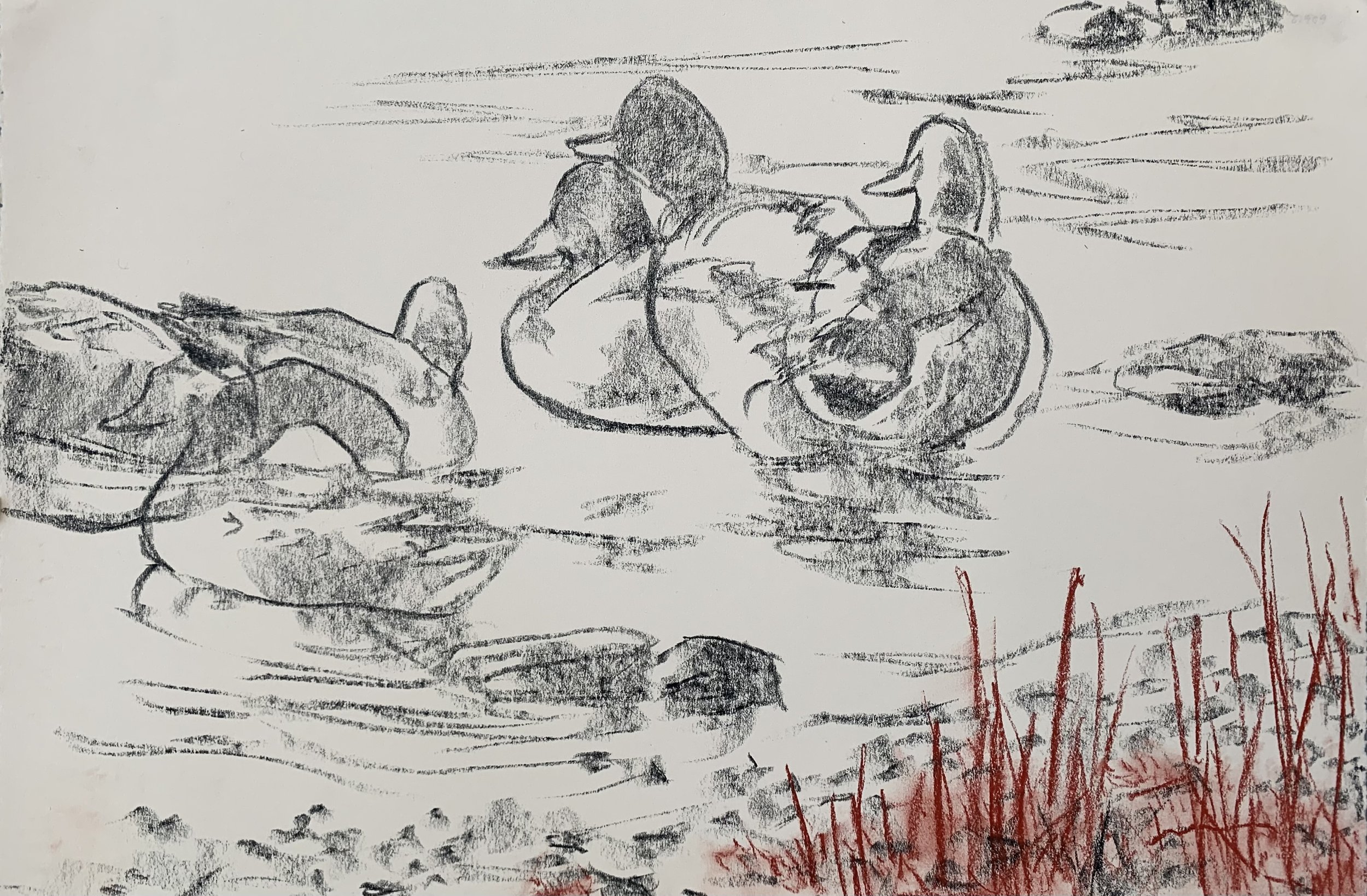
DUCKS IN A ROW | video, charcoal drawings | For the “fourth dimension”, I took creative liberty to create a time-based piece of aquatic life in the Providence River. For this work, I took video footage of Canada geese, ducks and seagulls in the water. I then projected the videos on a wall and traced the movements of these birds over time as they move through the frame. Displayed side by side, the ephemeral quality of the source video contrasts with the enduring marks left by the tracings.


![Canal x Washington (41.826645, -71.409444) [DETAIL]](https://images.squarespace-cdn.com/content/v1/55a70c16e4b0767154e3429c/1732336655863-9MJJCDHWIPG27K4NVNBH/Screenshot+2024-11-22+at+10.32.24+PM.png)

![Woonasquatucket x Moshassuck (41.827279, -71.411355) [DETAIL]](https://images.squarespace-cdn.com/content/v1/55a70c16e4b0767154e3429c/1732336662976-N4G5VZISF6XPLPEO7DCJ/Screenshot+2024-11-22+at+10.32.32+PM.png)


![Providence x Innovation (41.821677, -71.406677) [DETAIL]](https://images.squarespace-cdn.com/content/v1/55a70c16e4b0767154e3429c/1732336668668-IPGPAGA0OZKCBZLBT8JE/Screenshot+2024-11-22+at+10.32.48+PM.png)


![Main x Market (41.826050, -71.408319) [DETAIL]](https://images.squarespace-cdn.com/content/v1/55a70c16e4b0767154e3429c/1732654238186-F741NRF6XTPU6239EQJL/Screenshot%2B2024-11-22%2Bat%2B10.25.58%2BPM.jpg)


